
Short Answer
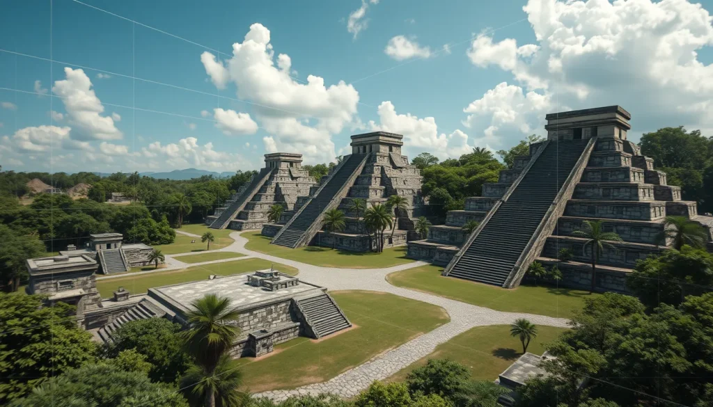
The intersection of archaeology and digital technology has opened new frontiers in the preservation and study of ancient civilizations. Specifically, Virtual Reality (VR) is increasingly used to reconstruct ancient Maya temples, offering a solution to the ongoing tension between the preservation of cultural heritage sites and the need for usable land. As physical sites face risks from vandalism, environmental degradation, and urban development, digital preservation ensures these environments cannot be truly forgotten or destroyed. This technological evolution allows researchers and the public to experience immersive virtual tours of historical significance without physically impacting the fragile ruins.
Main Explanation
The process of reconstructing Maya temples in Virtual Reality involves a sophisticated pipeline that integrates data capture, 3D modeling, and interactive visualization. Modern efforts move beyond simple static models to create dynamic, immersive environments. The workflow typically begins with data capture using advanced scanning technologies. Researchers employ RGB-D cameras, LiDAR (Light Detection and Ranging), and visual-inertial Simultaneous Localization and Mapping (SLAM) to track cameras and capture spatial data. This data is then processed through scene reconstruction pipelines that register depth and RGB data to create accurate 3D representations.
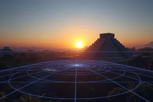
Once the raw data is captured, it is transformed into optimized 3D assets using procedural software such as Houdini. These assets are imported into game engines like Unreal Engine to simulate lighting, texture, and interaction. The final stage involves facilitating the loading and displaying of the reconstruction in VR headsets, often accompanied by virtual voice-guided tours. This automated pipeline enables even unskilled users to go from data capture to an immersive virtual tour. Projects such as the MayaCityBuilder Project utilize Geographic Information Systems (GIS) and LiDAR data to simulate entire ancient cities, such as Copan, in a virtual space. Similarly, the Virtual Chichén Itzá project has modeled ancient Maya cities using tools like Google SketchUp, integrating GIS tools for recording and analyzing spatial data.
Evidence & Sources
Academic and institutional research provides robust evidence for the efficacy of these digital methods. Researchers at UC San Diego have developed evolved systems for reconstructing and displaying cultural heritage sites in VR environments. Their work highlights the integration of individual technologies—scanning, modeling, and visualization—which were previously developed independently. Their pipeline demonstrates the ability to track cameras using visual-inertial SLAM and perform 3D reconstruction using registered depth and RGB data.
Furthermore, the MayaCityBuilder Project employs GIS and LiDAR data to simulate the ancient Maya city of Copan. This approach contrasts with single object viewers by employing recreated landscapes with multiple 3D objects, allowing for the exploration of object identity and embodiment in a virtual Mayan city. In another instance, the Virtual Chichén Itzá project utilized Google SketchUp to model an ancient Maya city, demonstrating how powerful modeling programs with intuitive interfaces can be integrated into various presentations. These projects collectively validate the use of remote scanning, 3D procedural software, game engines, and VR technologies for cultural heritage preservation, archaeological research, and education.
Deep Dive Analysis
The application of VR in Maya archaeology falls under the domain of Digital Archaeology. This section analyzes the technological framework, workflow, and implications of these reconstruction efforts.
Technology Description
The core technologies driving these reconstructions include LiDAR, RGB-D cameras, and Visual-Inertial SLAM. LiDAR uses laser pulses to measure distances to the Earth, creating high-resolution digital elevation models. RGB-D cameras capture color (RGB) and depth (D) information simultaneously. SLAM algorithms allow devices to understand their position within an environment while mapping that environment in real-time.
How It Works
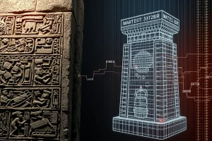
The reconstruction process begins with field scanning where sensors capture the geometry and texture of the ruins. This data is registered and aligned to create a point cloud. Procedural software then converts these point clouds into mesh models. Game engines render these models with realistic lighting and physics. Finally, VR hardware allows users to inhabit the space, interacting with the digital twin as if it were physical.
Field Workflow
Fieldwork involves deploying scanning equipment onsite. Researchers must ensure comprehensive coverage to avoid data gaps. The data is then transferred to processing stations where noise is filtered and models are optimized. The UC San Diego pipeline emphasizes automating this process to reduce the technical barrier for archaeologists.
Output/Data
The primary outputs are optimized 3D assets and immersive VR environments. These can be distributed as standalone applications or web-based viewers. The data serves as a permanent record of the site’s condition at the time of scanning, useful for monitoring degradation over time.
Example
The MayaCityBuilder Project serves as a prime example, simulating Copan using GIS and LiDAR. Another example is the Virtual Chichén Itzá project, which modeled the city using Google SketchUp. These projects demonstrate the scalability from single structures to entire urban landscapes.
Strengths
Digital reconstruction offers non-invasive preservation, allowing sites to be studied without physical contact. It enables global access to restricted or dangerous areas. Additionally, it supports educational initiatives by providing immersive learning experiences that static images cannot match.
Limitations
Accuracy depends on the quality of the scan and the interpretation of missing data. Reconstructing roofs or painted surfaces often requires conjecture based on archaeological evidence. Furthermore, high-fidelity VR requires significant computational power and specialized hardware.
Accuracy
While geometric accuracy can be millimeter-precise with LiDAR, textural and color accuracy may vary. Historical accuracy regarding the original appearance of the temple relies on archaeological interpretation, which is subject to debate and revision as new evidence emerges.
Cultural Heritage Considerations
Digital preservation mitigates the loss of experience if physical sites are destroyed. However, it raises questions about ownership and access to digital assets. Ensuring that local communities benefit from these digital twins is a critical ethical consideration in modern digital heritage projects.
FAQ
What technologies are used to scan Maya temples for VR?
Researchers use RGB-D cameras, LiDAR, and visual-inertial SLAM to track cameras and capture depth and RGB data for 3D reconstruction.
Why is Virtual Reality important for Maya archaeology?
VR helps preserve sites digitally against vandalism and land development tensions, allowing immersive exploration without physical impact.
Can unskilled users create VR tours of archaeological sites?
Yes, new automated pipelines aim to take an unskilled user from data capture to an immersive virtual tour without needing extensive technical expertise.
Leave a Reply