
Short Answer
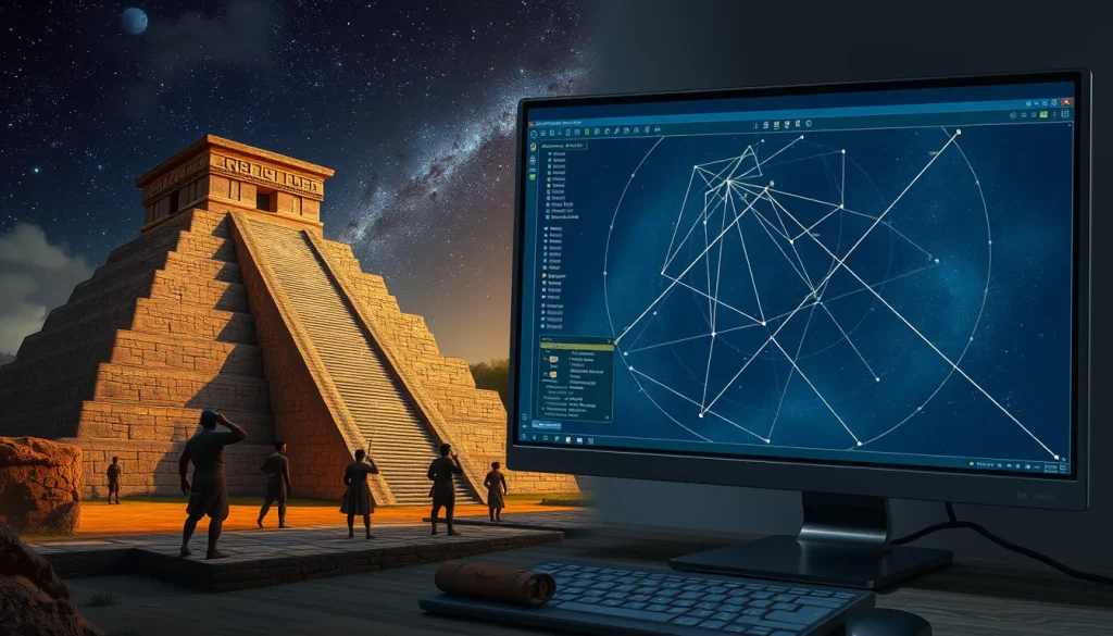
The study of ancient Maya astronomy has undergone a significant transformation with the advent of digital simulation tools. Where researchers once relied on manual calculations and static star charts, modern archaeoastronomers now utilize sophisticated software to reconstruct the sky as it appeared over Mesoamerica centuries ago. These tools are essential for verifying architectural alignments, interpreting codices, and understanding the cosmological framework that guided Maya civilization. By combining open-source planetarium software with custom computation engines, scholars can render local horizons and celestial tracks with sufficient precision for historical analysis.
Main Explanation
Simulating ancient Maya skies requires software capable of handling high-precision ephemerides over millennia. The primary challenge lies in accounting for precession, nutation, and proper motion of stars to ensure that the simulated sky matches the historical reality of the Classic or Postclassic periods. The most widely adopted tool in this field is Stellarium, an open-source desktop planetarium that has been specifically improved for archaeoastronomical applications. Recent versions, such as Stellarium 26.2 released in early 2026, include dedicated sky culture files for the Maya, allowing users to visualize constellations and celestial objects through the lens of Maya cosmology rather than modern Western definitions.
Beyond general planetarium software, specialized engines have been developed to address the unique needs of cultural astronomy. For instance, the Sky Culture MCP (Model Context Protocol) server, created in 2026, acts as a many-to-one archaeoastronomy engine. This tool converts cultural sky descriptions from Mayan, Chinese, and Babylonian sources into precise NASA-grade coordinates (J2000) and visualization scripts. Powered by Python and the Skyfield library using DE421 ephemerides, it represents a shift towards automated verification of ancient texts against modern astronomical data. These systems allow researchers to test hypotheses about celestial events described in inscriptions or codices without the tedious process of manual calculation.
Evidence & Sources
The development of these tools is grounded in academic research and open-source collaboration. A foundational paper published in 2018 by Rodas-Quito and Mejuto introduced early software tools designed to render local horizons and sky tracks for cultural astronomy. Their work emphasized the use of open-source software and geographical data to achieve precision suitable for historical times. This established the precedent that accurate simulation requires not just star positions, but also precise terrestrial location data to model the horizon correctly.
Further advancements were documented by Georg Zotti and colleagues in 2017 and 2018, who detailed improvements to Stellarium for archaeoastronomy. They introduced a dedicated plugin capable of visualizing loadable scenes of 3D reconstructions of past monuments within their landscape. This integration allows researchers to see how a structure like El Caracol at Chichén Itzá would have framed specific celestial events. The accuracy of these simulations extends over several millennia, making them sufficient for most historical applications regarding the Maya civilization. The existence of Maya sky culture descriptions within the Stellarium source code as of January 2026 confirms the ongoing commitment to maintaining cultural accuracy in digital heritage projects.
Deep Dive Analysis
The application of software in Maya archaeoastronomy falls under the domain of Digital Archaeology. This module analyzes the technology, workflow, and implications of using digital tools to simulate ancient skies.
Technology Description
The core technology involves astronomical computation libraries combined with 3D rendering engines. Stellarium utilizes OpenGL for visualization and integrates astronomical catalogs like Hipparcos and Gaia for star positions. For planetary positions, it relies on standard ephemerides such as VSOP87 or DE421. Custom engines like Sky Culture MCP leverage Python scripts interfacing with Skyfield, a high-precision astronomy library. These tools are often containerized using Docker to ensure reproducibility across different research environments.
How It Works
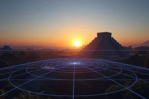
The simulation process begins with inputting specific geographical coordinates (latitude, longitude, altitude) of the archaeological site. The user then sets the date and time to the historical period of interest. The software calculates the topocentric positions of celestial bodies, accounting for atmospheric refraction and light pollution if necessary. In advanced workflows, 3D models of ruins are imported into the planetarium environment. The software then renders the view from specific vantage points within the structure, allowing the researcher to determine if a window or doorway aligns with a solstice sunrise or Venus rise.
Field Workflow
A typical digital archaeoastronomy workflow involves several stages. First, researchers gather geospatial data using GPS or LiDAR to map the site accurately. Second, they define the historical timeframe based on ceramic typology or radiocarbon dating. Third, they run simulations to identify potential celestial targets. Finally, they compare simulation results with architectural alignments or iconographic evidence. This iterative process helps refine hypotheses about the function of specific buildings.
Output and Data
The output of these simulations includes visual renderings, azimuth and altitude data, and event logs. For example, a researcher might generate a script that logs every heliacal rise of Venus over a 50-year period at Tikal. Custom engines can output this data in JSON or CSV formats for further statistical analysis. Visualization scripts may produce video files showing the motion of the sky over a single night or across centuries.
Example Application
An example of this technology in action is the verification of the Venus Table in the Dresden Codex. Using Skyfield with DE421 ephemerides, a researcher can calculate the precise visibility of Venus during the dates recorded in the codex. By comparing these calculations with the glyphic records, discrepancies can be identified and analyzed. Similarly, Stellarium’s 3D plugin allows a user to stand virtually inside the Temple of Kukulcan at Chichén Itzá during the equinox to observe the shadow effect known as the descent of the serpent.
Strengths
The primary strength of these tools is precision and repeatability. Unlike manual calculations, software can process thousands of dates in seconds, allowing for comprehensive statistical analysis of celestial cycles. The integration of 3D models provides spatial context that 2D star charts cannot offer. Furthermore, open-source tools ensure that methodologies are transparent and can be peer-reviewed by the global scientific community.
Limitations
Despite their power, these tools have limitations. They rely on accurate historical data regarding the site’s construction date and orientation, which may be uncertain. Atmospheric conditions in the past, such as volcanic dust or humidity, are difficult to model precisely and can affect visibility predictions. Additionally, software simulations assume modern physical constants, whereas slight variations over millennia could theoretically impact long-term calculations, though generally within acceptable margins for archaeoastronomy.
Accuracy
Modern software like Stellarium and Skyfield is accurate enough for most historical applications. The use of DE421 ephemerides ensures planetary positions are correct within arcseconds for dates spanning several thousand years. However, users must be cautious about calendar conversions. Simulating a Maya date requires converting the Long Count to the Julian Day Number correctly, accounting for the correlation constant (usually the GMT correlation). Errors in calendar conversion can lead to significant discrepancies in simulated sky views.
Cultural Heritage Considerations
The use of digital tools to simulate sacred skies raises cultural heritage considerations. While the software provides scientific data, the interpretation of these skies remains deeply tied to Maya descendant communities. Researchers must distinguish between historical Maya beliefs and modern interpretations. Tools like the Sky Culture MCP aim to respect cultural context by converting cultural descriptions rather than imposing modern Western constellations. It is crucial that digital heritage projects collaborate with indigenous stakeholders to ensure that simulations honor the cosmological significance of the sky rather than reducing it to mere coordinate data.
FAQ
Is Stellarium accurate enough for ancient Maya dates?
Yes, Stellarium has been improved to simulate sky positions over several millennia with sufficient accuracy for most historical archaeoastronomy applications.
What ephemeris data do these tools use?
Advanced tools like Sky Culture MCP use NASA-grade DE421 ephemerides to ensure precise planetary positions.
Can these simulations show Maya constellations?
Yes, recent versions of Stellarium include specific Maya sky culture files that render constellations according to Maya descriptions.
Leave a Reply