
Short Answer
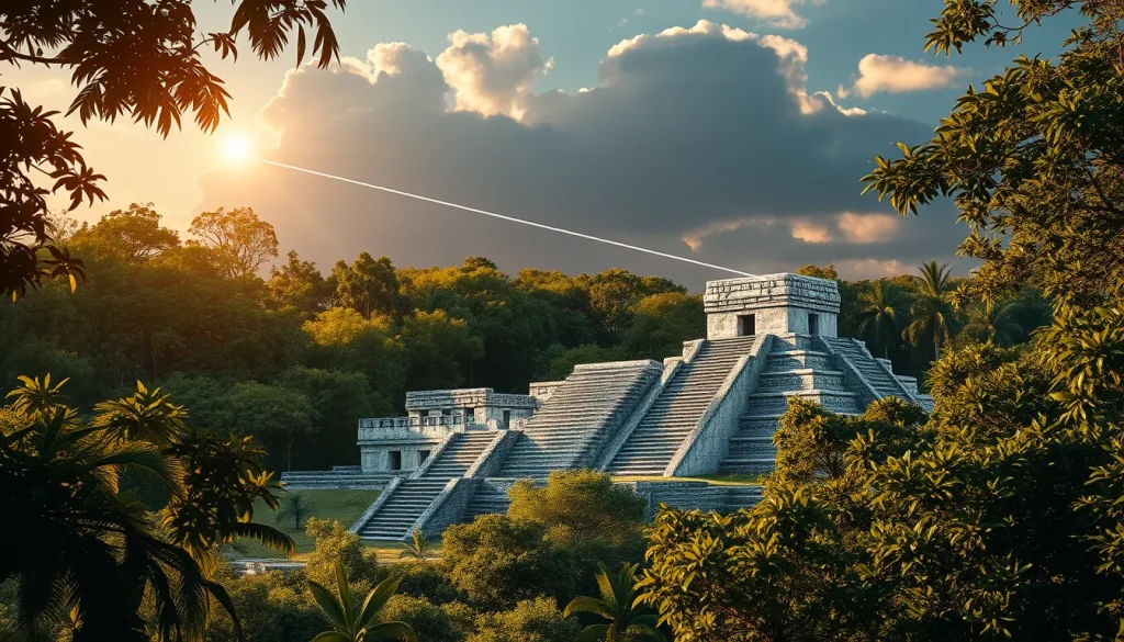
The intersection of ancient Maya cosmology and modern digital heritage technology represents a pivotal advancement in archaeological preservation. As climate change and excessive tourism threaten physical heritage sites, digital tools offer a non-invasive means to document, analyze, and protect the architectural remnants of Maya archaeoastronomy. These technologies enable researchers to reconstruct historical landscapes, simulate celestial events as viewed by ancient observers, and ensure that cultural knowledge is preserved for future generations without further disturbing the archaeological record.
Main Explanation
Digital heritage technology encompasses a range of tools designed to capture, analyze, and present cultural heritage data in digital formats. In the context of Maya archaeoastronomy, this includes Light Detection and Ranging (LiDAR), terrestrial laser scanning, photogrammetry, and Virtual Reality (VR) reconstructions. These technologies serve a dual purpose: preservation and interpretation. Physically, they create high-fidelity records of sites that may be vulnerable to erosion or human impact. Intellectually, they allow archaeologists to test hypotheses about astronomical alignments without requiring destructive excavation.
Modern digital technologies have significantly changed how society operates, with increased demands for energy and communications that can negatively impact heritage sites. However, when applied correctly, these tools are extremely beneficial for heritage activities. For instance, 3D surveying allows for the creation of precise databases of architectural remains, facilitating long-term monitoring and conservation planning. This is crucial for Maya sites where architecture was often designed to mark specific horizon events, such as zenith passages or equinoxes. By digitizing these structures, researchers can maintain a permanent record of the site’s geometry, which is essential for calculating ancient sightlines that may be obscured by vegetation or decay in the physical world.
Furthermore, digital heritage supports the integration of intangible heritage. Recent initiatives emphasize the importance of local voices in the documentation process. Oral histories and cultural insights from Maya elders and community members enrich digital models, ensuring that the technological preservation aligns with living cultural traditions. This approach not only fuels tourism and public engagement but also brings economic benefit to local communities while respecting the spiritual and historical significance of the sites.
Evidence & Sources
Recent case studies provide concrete evidence of the efficacy of digital heritage in Maya archaeology. Research published in 2022 highlights the use of 3D surveying to support heritage authorities in managing Maya archaeological sites. Authors Mario Hernández, Philippe De Maeyer, and colleagues demonstrated how digital technologies can mitigate negative impacts from climate change and tourism while enhancing conservation techniques. Their work underscores the necessity of accurate documentation to protect sites that serve as both historical records and geotourism assets.
Specific applications of Virtual Reality have been instrumental in understanding astronomical knowledge at Preclassic sites. A study focusing on Cerros, Belize, utilized three-dimensional reconstructions based on recorded archaeological data to explore how ancient Maya observers interacted with their landscape. Researchers Jeffrey Ryan Vadala and Susan Milbrath argued that the Maya at Cerros constructed buildings to memorialize observation points on unique promontories. The VR models allowed them to visualize how architecture developed into a form of landscape that molded ceremonial activities, marking horizon events like the spring equinox. This digital reconstruction revealed how astronomical observation evolved into a privileged form of knowledge accessible only to elites.
Additionally, the Maya Mapping Collaborative has employed drone mapping and GIS to document iconic sites across Belize. In June 2025, researchers used drone imagery to reveal hidden structures without disturbing the landscape. This project exemplifies how interactive digital stories can amplify local knowledge. By making sites accessible virtually, the collaborative ensures that the data survives even if the physical site degrades. The use of laser scanning databases, as detailed by researchers from the Universitat Politècnica de València, further supports this by creating enduring records of excavations that can be analyzed remotely, reducing the need for repeated physical intervention.
Deep Dive Analysis
Technology Description
The core technologies involved in this preservation effort include LiDAR, terrestrial laser scanning, and photogrammetry. LiDAR uses laser pulses from aircraft or drones to map ground surfaces through vegetation, revealing underlying structures. Terrestrial laser scanning captures high-resolution 3D data of standing architecture from the ground level. Photogrammetry stitches together overlapping photographs to create textured 3D models. Together, these tools form a comprehensive digital twin of the archaeological site.
How It Works
The process begins with data acquisition. Drones equipped with LiDAR sensors fly over the site, penetrating canopy cover to map the terrain. Simultaneously, ground teams use laser scanners to capture architectural details. This data is processed using specialized software to generate point clouds, which are then converted into mesh models. For archaeoastronomy, these models are imported into astronomical simulation software where the position of the sun, moon, and planets can be calculated for specific historical dates.
Field Workflow
A typical field workflow involves a multidisciplinary team. As seen in the Belize projects, archaeologists work alongside GIS specialists and local guides. The team collects drone imagery over several days, ensuring complete coverage. Local guides contribute oral histories that help identify potential sites of interest. Once collected, the data is processed in the field or at a base camp to verify quality before demobilization. This iterative process ensures that no critical data is missed during the expedition.
Output/Data
The primary output is a georeferenced 3D database of architectural remains. This includes digital elevation models (DEMs), orthomosaics, and textured meshes. For archaeoastronomy, the output also includes visibility analyses and horizon profiles. These datasets allow researchers to measure azimuths and elevations of architectural alignments with high precision, facilitating the testing of astronomical hypotheses without physical measurement tools that might damage the site.
Example
A prime example is the work at Cerros, Belize. Researchers used 3D reconstructions to understand how the site’s promontory was used to observe zenith events. The digital model showed how later construction marked important horizon events, notably the spring equinox. Another example is the Maya Mapping Collaborative’s use of drones in June 2025 to map hidden structures in the lowland forest, demonstrating the technology’s ability to reveal features invisible to the naked eye.
Strengths
The strengths of digital heritage technology lie in its non-invasive nature and permanence. It allows for the documentation of sites that are too fragile to touch or too remote to access frequently. It also enables virtual tourism, reducing physical foot traffic that contributes to site degradation. Furthermore, it facilitates collaboration; data can be shared instantly with researchers worldwide, accelerating the pace of discovery.
Limitations
Despite its advantages, there are limitations. High-resolution data requires significant storage and processing power. The accuracy of astronomical simulations depends on the precision of the 3D model; any errors in scanning can lead to incorrect alignments. Additionally, technology cannot fully replicate the sensory experience of being on-site, such as the play of light and shadow on textured surfaces, which may have been integral to the ancient experience.
Accuracy
Modern laser scanning offers millimeter-level accuracy, which is sufficient for most archaeoastronomical calculations. However, vegetation growth and erosion can alter the landscape over time, meaning digital records must be updated periodically. The integration of local knowledge helps verify the accuracy of interpretations, ensuring that digital models reflect cultural realities rather than just geometric data.
Cultural Heritage Considerations
Ethical considerations are paramount. Digital preservation must respect the intellectual property and cultural sensitivities of descendant communities. Projects like the Maya Mapping Collaborative prioritize amplifying local voices and ensuring economic benefits reach community members. There is also a risk that virtual access might diminish the perceived value of physical preservation, so digital tools should be framed as complementary to, not a replacement for, physical conservation efforts.
FAQ
How does Virtual Reality help in understanding Maya astronomy?
VR allows researchers to reconstruct ancient landscapes and buildings based on archaeological data, enabling them to simulate celestial events like zenith passages or equinoxes as they would have been seen by the Maya.
Why is LiDAR preferred over traditional surveying for Maya sites?
LiDAR can penetrate dense jungle canopy to reveal hidden structures without disturbing the landscape, providing a comprehensive map of the site that traditional ground surveying might miss.
Do digital preservation projects involve local communities?
Yes, modern projects like the Maya Mapping Collaborative integrate local guides and elders to contribute oral histories and cultural insights, ensuring the digital models respect community knowledge.

Leave a Reply