
Short Answer
The intersection of digital heritage and Mesoamerican archaeology has opened new avenues for interpreting ancient knowledge systems. Specifically, the question of whether Virtual Reality (VR) can improve understanding of ancient Maya astronomy is being answered through rigorous case studies. By utilizing three-dimensional reconstructions based on recorded archaeological data, researchers are able to simulate historical landscapes and skyscapes that are no longer visible in the present day. This technological application allows for the exploration of how ancient populations observed celestial events and integrated them into their architecture and cosmology.
Main Explanation
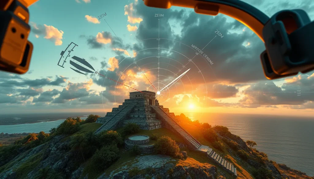
Virtual Reality serves as a methodological framework that combines computational and experiential approaches to archaeology. In the context of Maya astronomy, VR is not merely a visualization tool but an analytical instrument. It enables archaeologists to test hypotheses about sightlines, horizon markers, and architectural alignments that were critical to Maya timekeeping and ritual. The technology allows users to inhabit the perspective of ancient observers, revealing how specific promontories or building placements facilitated the observation of zenith events and equinoxes. This immersive capability bridges the gap between static archaeological records and the dynamic sensory experiences of the past, including sound, vision, and movement within the landscape.
Furthermore, VR helps distinguish between public and privileged knowledge. As sites grew, certain observation systems developed into forms of architecture accessible only to elites. Digital reconstructions can model these access restrictions, helping modern scholars understand how astronomical knowledge was controlled and utilized to maintain social hierarchy. The architecture itself became a form of landscape that helped mould ceremonial activities, and VR allows for the simulation of these ceremonial contexts without disturbing the physical site.
Evidence & Sources
Empirical support for the efficacy of VR in this field comes from several key publications. A foundational study by Jeffrey Vadala and Susan Milbrath, published in the Journal of Skyscape Archaeology in 2016, investigated the site of Cerros, Belize. They argued that the ancient Maya of Cerros early on observed features in the coastal landscape that marked zenith events. Over time, they constructed buildings to memorialize this observation point on a unique promontory. Their research utilized three-dimensional reconstructions based on recorded archaeological data to focus on how the Maya at Cerros developed an astronomically influenced cosmological system. This study highlights how later construction marked other important horizon events, most notably the spring equinox.
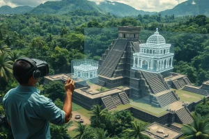
Additional evidence is provided by Jessica M. Moss in a 2022 case study of the Maya site Vista Alegre in Mexico. This work explored the applications of Virtual and Augmented Reality platforms for archaeological visualization, specifically in the area of public education. Moss created a 3D model and virtual experience of Vista Alegre to relate history, theory, and educational outcomes. This demonstrates that hardware advancements have begun to allow for broader consumer use of VR platforms in homes, schools, and museums, extending the understanding of Maya astronomy beyond academia.
Moreover, a 2023 book chapter by Heather Richards-Rissetto and colleagues discussed multisensory experiences in archaeological landscapes. They noted that archaeologists are employing a variety of digital tools to develop new methodological frameworks that combine computational and experiential approaches. This includes integrating sound, vision, and movement in GIS and Virtual Reality, providing a holistic view of how astronomical observations were experienced sensorially.
Deep Dive Analysis
Technology Description
Virtual Reality in this context refers to immersive digital environments generated from archaeological data. These systems rely on hardware advancements that allow for broader consumer use, enabling users to interact with 3D models of ancient sites. The technology encompasses both Virtual Reality (VR) and Augmented Reality (AR) platforms, which are used to aid in recording, interpreting, and educating about sites and projects.
How It Works
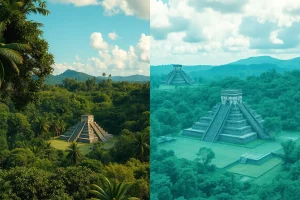
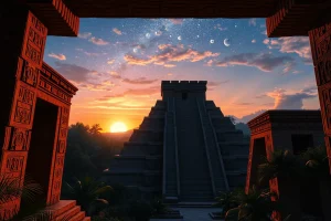
The process begins with recorded archaeological data, which serves as the foundation for three-dimensional reconstructions. Researchers input spatial data, architectural measurements, and landscape features into modeling software. This data is then rendered into an immersive environment where users can navigate the site as it existed in the past. The system simulates lighting conditions and celestial positions corresponding to specific historical dates, allowing for the visualization of astronomical events such as zenith passages or equinoxes.
Field Workflow
The workflow involves collecting precise archaeological data from the field, including site maps, excavation records, and landscape surveys. This data is processed to create accurate digital twins of the structures and terrain. For example, at Cerros, Belize, recorded archaeological data was used to reconstruct the site’s promontory and buildings. The workflow also includes integrating GIS data to understand the broader landscape context, ensuring that horizon markers and coastal features are accurately represented in the virtual environment.
Output/Data
The primary output is a 3D model and virtual experience that users can explore. This output includes visual representations of architecture, landscape features, and skyscapes. In the case of Vista Alegre, the output was designed specifically for public education, allowing users in schools and museums to engage with the history of the site. The data also supports analytical outputs, such as visibility analyses and sightline calculations, which help verify astronomical alignments.
Example
A prominent example is the reconstruction of Preclassic Cerros in Belize. Researchers used VR to understand how the ancient Maya observed features in the coastal landscape that marked zenith events. The reconstruction showed how buildings were constructed to memorialize this observation point on a unique promontory. Another example is Vista Alegre in Mexico, where a virtual experience was created to educate the public about the site’s history and astronomical significance.
Strengths
The strengths of using VR include the ability to visualize changes over time and test observational hypotheses without physical intrusion. It allows for the simulation of privileged forms of knowledge, showing how observation systems developed into architecture that only elites could access. Additionally, it facilitates broader consumer use, making archaeological knowledge accessible in homes, schools, and museums. The multisensory approach, incorporating sound and movement, enhances the experiential understanding of the landscape.
Limitations
Limitations include the reliance on the accuracy of the underlying archaeological data. If the recorded data is incomplete, the reconstruction may contain interpretive biases. Furthermore, while VR can simulate vision and movement, fully replicating the ancient sensory experience remains challenging. There is also the risk of users conflating the digital reconstruction with historical reality, necessitating clear distinctions between evidence and interpretation.
Accuracy
Accuracy is maintained by basing three-dimensional reconstructions on recorded archaeological data. Studies emphasize using data to focus on how Maya developed astronomically influenced cosmological systems rather than speculative imagery. For instance, the Cerros reconstruction focused on specific horizon events like the spring equinox, grounded in architectural evidence. However, accuracy is always contingent on the quality of the initial field records and the methodological rigor of the digital modeling.
Cultural Heritage Considerations
Cultural heritage considerations are paramount, particularly regarding the representation of privileged knowledge. At Cerros, the system of observation developed into a form of architecture that only elites could access, thus creating a separate privileged form of knowledge. VR experiences must contextualize this exclusivity rather than democratizing it incorrectly. Additionally, educational applications must respect the cultural significance of the sites, ensuring that public education efforts align with community values and archaeological ethics. The technology should aid in interpreting sites without commodifying sacred or sensitive aspects of Maya cosmology.
FAQ
How does Virtual Reality help archaeologists study Maya astronomy?
VR allows researchers to create three-dimensional reconstructions based on recorded archaeological data, simulating historical landscapes and skyscapes to test hypotheses about sightlines and celestial alignments.
What specific astronomical events were studied using VR at Cerros?
Studies at Cerros, Belize focused on zenith events marked by coastal landscape features and later construction marking horizon events, most notably the spring equinox.
Is Virtual Reality used for public education regarding Maya sites?
Yes, hardware advancements have allowed for broader consumer use of VR platforms in homes, schools, and museums to educate the public about sites like Vista Alegre.
Did all Maya people have access to astronomical observation points?
No, at sites like Cerros, the system of observation developed into a form of architecture that only elites could access, creating a separate privileged form of knowledge.
Leave a Reply