
Short Answer
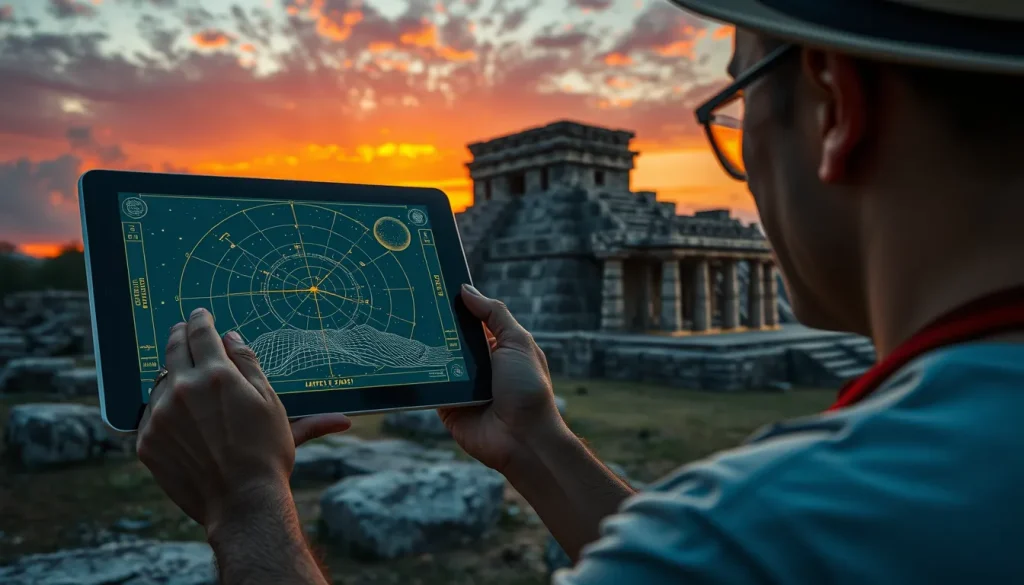
The field of archaeoastronomy has undergone a significant transformation in recent decades, shifting from manual surveying techniques to sophisticated digital methodologies. When investigating what modern tools are used in archaeoastronomy to study Maya sites, researchers now rely on a combination of open-source software, virtual reality reconstructions, and quantitative statistical analysis. These technologies enable scholars to render local horizons for terrestrial observers and simulate sky tracks of celestial objects with sufficient precision for historical times. This digital turn allows for a more rigorous testing of hypotheses regarding the astronomical utility of ceremonial architecture, moving beyond speculative alignment claims to data-driven interpretations of ancient Maya cosmology and urban planning.
Main Explanation
Modern archaeoastronomical research into Maya sites integrates geographical data with astronomical algorithms to recreate the sky as it appeared in the past. A primary tool in this domain is specialized software capable of rendering the local horizon for a terrestrial observer. Unlike popular consumer applications, these academic tools are designed to account for topographical features and architectural obstructions that would have influenced ancient observations. By using open-source software tools and geographical data, researchers can model the visibility of celestial bodies such as the sun, moon, Venus, and specific star groups over centuries of Maya history. This precision is critical for distinguishing between accidental alignments and those intentionally constructed to mark significant calendar dates.
Another pivotal technology is Virtual Reality (VR) and three-dimensional reconstruction. These tools allow archaeologists to build digital models of sites based on recorded archaeological data. Through VR, investigators can explore how the Maya developed astronomically influenced cosmological systems within their physical landscape. For instance, reconstructions can demonstrate how architecture itself became a form of landscape that helped mould ceremonial activities. This approach helps visualize how observation points may have been restricted to elites, creating a separate privileged form of knowledge. The integration of these digital tools facilitates a deeper understanding of how astronomical knowledge emerged and was institutionalized within Maya society, particularly during the Preclassic and Classic periods.
Quantitative analysis of alignment data represents the third pillar of modern methodology. Rather than relying on isolated examples, researchers now analyze reasonably large samples of alignment data from architectural compounds. This statistical approach helps evaluate multiple hypotheses about the astronomical function of complexes, ranging from those attributing them a paramount role in astronomical observations to those considering them merely allegorical or commemorative allusions. By applying rigorous interpretations to fieldwork data, modern scholars can reassess earlier surveys in light of breakthroughs in the decipherment of Maya glyphs. This ensures that astronomical interpretations are consistent with the dynastic history and ritual calendar understood through epigraphy.

Evidence & Sources
Recent academic publications highlight the efficacy of these modern tools in reanalyzing famous Maya sites. A 2018 study introduced a new software tool designed to render local horizons and sky tracks with sufficient precision for historical times. This software utilizes open-source frameworks to process geographical data, providing a baseline for testing astronomical hypotheses without the cost of proprietary systems. The development of such tools marks a first step towards obtaining cultural astronomy software that is accessible to the broader research community, ensuring reproducibility in archaeoastronomical studies.
Furthermore, a 2023 reanalysis of the archaeoastronomy of Tikal demonstrates the impact of combining digital precision with epigraphic knowledge. At the great city of Tikal, the ancient Maya placed and oriented their ceremonial architecture in accordance with cosmological principles. The earliest ceremonial plaza, the Mundo Perdido, is one of the oldest pre-Classic E-Groups of the Petén. While earlier surveys in 1988 by Aveni and Hartung revealed relationships between astronomical and dynastic aspects, intervening decades have brought breakthroughs in glyph decipherment. Modern reassessments incorporate these textual insights to provide more rigorous interpretations of the site’s orientation. Recent surveys and interpretations have demonstrated the importance of the Maya ritual calendar in the placement and orientation of ceremonial public architecture, validating the need for tools that can cross-reference architectural data with calendar cycles.
Additionally, research published in 2021 focused on the astronomical aspects of Group E-type complexes using quantitative analyses. These complexes, commonly designated as E Groups, have been the subject of debate regarding their function as observatories versus commemorative structures. By analyzing a large sample of alignment data, researchers could test hypotheses about their astronomical utility. This study underscores the shift towards quantitative methods that reduce subjective bias in identifying astronomical orientations. The use of statistical data allows scholars to distinguish between sites that served as functional observatories and those that served as allegorical references to celestial cycles, refining our understanding of ancient Maya architecture and urban planning.
Deep Dive Analysis
Module F: Digital Archaeology in Archaeoastronomy
Technology Description
Digital archaeology in this context refers to the application of computational tools, including Virtual Reality (VR), Geographic Information Systems (GIS), and astronomical simulation software, to archaeological questions. These technologies allow for the non-invasive reconstruction of ancient environments and the simulation of celestial phenomena. The core technology involves 3D modeling software that integrates topographical data with architectural plans to create immersive environments. Astronomical engines within these systems calculate the positions of celestial bodies based on precise historical dates, accounting for precession and proper motion.
How It Works
The workflow begins with the collection of spatial data through terrestrial surveying or LiDAR. This data is imported into 3D modeling environments where structures are reconstructed based on archaeological evidence. Astronomical plugins then overlay the sky onto these models. Researchers can set the date and time to simulate specific events, such as solstices or equinoxes, from the perspective of an ancient observer standing within the structure. This process allows for the testing of visibility lines and horizon profiles that are no longer visible due to vegetation growth or structural decay.
Field Workflow
In the field, archaeologists record architectural orientations using total stations and GPS. These measurements are correlated with digital elevation models to understand the natural horizon. Back in the laboratory, this data informs the digital reconstruction. For example, at the site of Cerros, Belize, investigators explored the emergence of ancient astronomical systems by reconstructing the site based on recorded archaeological data. They focused on how the Maya developed an astronomically influenced cosmological system by observing features in the coastal landscape that marked zenith events. The workflow ensures that the digital model remains grounded in physical evidence rather than speculative reconstruction.
Output and Data
The primary output includes horizon profiles, sky track visualizations, and statistical reports on alignment distributions. Software tools render the local horizon for a terrestrial observer and the sky tracks of celestial objects that are of interest in cultural astronomy. These outputs provide visual evidence supporting claims about architectural orientation. In the case of Tikal, reassessments provided updated interpretations of the relationship between astronomical and dynastic aspects. The data allows for the correlation of architectural axes with specific dates in the Maya ritual calendar, offering insights into the timing of ceremonial activities.
Example Case Studies
One prominent example is the use of Virtual Reality to understand astronomical knowledge at Preclassic Cerros. Researchers argued that the ancient Maya of Cerros early on observed features in the coastal landscape that marked zenith events. Over time, they constructed buildings to memorialize this observation point on a unique promontory. Later construction marked other important horizon events, most notably the spring equinox. Another example is the quantitative analysis of Group E-type complexes across the central lowlands of the Yucatan peninsula. This study utilized alignment data to determine if these complexes functioned as observatories or commemorative allusions to celestial cycles.
Strengths
The primary strength of digital archaeology is precision and reproducibility. Software tools provide sufficient precision for historical times, allowing researchers to verify claims independently. Virtual reality offers an immersive understanding of historical landscapes, helping scholars visualize how architecture moulded ceremonial activities. Furthermore, quantitative analysis reduces subjective bias by testing hypotheses against large datasets rather than anecdotal evidence. This rigor is essential as interpretations in the field of archaeoastronomy have become more demanding over the past century.
Limitations
Despite these advantages, limitations exist. Digital models are only as accurate as the underlying archaeological data; if the reconstruction of a building’s height or position is incorrect, the astronomical simulation will be flawed. Additionally, software cannot determine intent; an alignment may be statistically significant but culturally irrelevant. There is also the risk of technological determinism, where the availability of tools drives the research questions rather than the archaeological context. Researchers must remain cautious not to attribute observational use to structures that were merely allegorical.
Accuracy and Considerations
Accuracy depends on the quality of geographical data and the astronomical algorithms used. Open-source tools have improved accessibility but require validation against established ephemerides. Cultural heritage considerations are paramount; digital reconstructions should respect the integrity of the site and avoid presenting speculative models as fact. As breakthroughs in the decipherment of Maya glyphs increase our understanding of dynastic history, digital tools must remain flexible enough to incorporate new textual evidence. The aim is to reassess earlier fieldwork in archaeoastronomy with updated knowledge, ensuring that technological capabilities serve historical understanding rather than overshadowing it.
FAQ
What software is used to model Maya astronomical sites?
Researchers use open-source software tools that render local horizons and sky tracks using geographical data to simulate historical sky views.
How has VR changed the study of Maya astronomy?
Virtual Reality allows investigators to explore 3D reconstructions of sites like Cerros to understand how architecture moulded ceremonial activities and observation points.
Are all Maya alignments astronomical?
No, quantitative analyses suggest some complexes were allegorical or commemorative allusions to celestial cycles without direct observational use.


Leave a Reply