
Short Answer
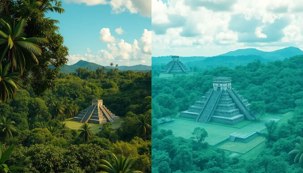
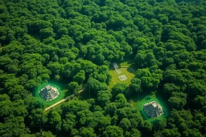
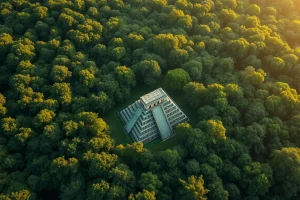
The application of Light Detection and Ranging (LiDAR) technology represents a paradigm shift in Mesoamerican archaeology, specifically within the study of the Ancient Maya civilization. For centuries, the dense tropical forests of Central America obscured the true scale of Maya urbanization and agricultural infrastructure. Traditional ground surveys were limited by visibility and accessibility, often leading to underestimations of population sizes and societal complexity. However, recent airborne laser scanning initiatives have digitally stripped away the vegetation canopy, exposing a hidden landscape of cities, farms, and defensive features that fundamentally alters historical narratives.
Main Explanation
LiDAR operates by emitting laser pulses from an aircraft toward the ground and measuring the time it takes for the light to return. This process generates high-resolution topographic models that penetrate forest cover to reveal the ground surface beneath. In the context of Maya archaeology, this technology allows researchers to identify anthropogenic features such as pyramids, residential clusters, roadways, and agricultural terraces that are invisible to the naked eye from the ground or via standard satellite imagery. The data obtained provides a comprehensive view of settlement patterns and land use across vast regions.
The implications of these discoveries are profound. Earlier models of the Maya lowlands suggested a collection of isolated city-states with sparse populations surrounding urban cores. LiDAR data contradicts this, revealing continuous settlement networks and intensive agricultural systems. For instance, research in northern Guatemala has identified massive modifications to the landscape, indicating that the Maya engineered their environment on an industrial scale to support dense populations. This technological intervention has moved the field from speculative reconstruction based on limited excavation to data-driven analysis of entire regions.
Evidence & Sources
Empirical evidence derived from recent LiDAR surveys provides concrete metrics regarding the scale of Maya modification of their environment. A seminal study focusing on northern Guatemala analyzed airborne laser scanning data to distinguish between modified and unmodified terrain. The analysis identified approximately 362 square kilometers of deliberately modified agricultural terrain. In contrast, another 952 square kilometers of unmodified uplands were identified for potential swidden use, highlighting the diverse strategies employed by the Maya to sustain their population.
Furthermore, connectivity between sites was found to be far more extensive than previously documented. Approximately 106 kilometers of causeways were identified within and between sites, constituting evidence of inter- and intracommunity connectivity. These causeways, or sacbeob, facilitated trade, movement, and political control. However, the data also reveals signs of conflict; sizable defensive features point to societal disconnection and large-scale conflict, suggesting that this interconnectedness existed alongside significant warfare.
Specific site analyses further underscore the magnitude of these findings. In Mexico’s Yucatan, LiDAR revealed that the Maya city of Dzibanche sprawled more than seven square miles, a size hardly hinted at by aerial views alone. Additionally, research in the Upper Usumacinta River Region of Mexico and Guatemala utilized density-based clustering to map ancient settlements, while studies in northwest Belize focused on revealing wetland fields under the tropical forest canopy. These multiproxy evidences confirm that wetland systems were associated with dense populations and suggest centralized planning, whereas upland terraces often clustered around residences, implying local management.
Deep Dive Analysis
Module F: Digital Archaeology
Technology Description
LiDAR (Light Detection and Ranging) is a remote sensing method that uses light in the form of a pulsed laser to measure ranges (variable distances) to the Earth. In archaeological contexts, it is often referred to as airborne laser scanning (ALS). This technology is critical for Digital Heritage initiatives aimed at preserving and understanding sites threatened by vegetation growth or urban expansion.
How It Works
The system consists of a laser scanner, a GPS receiver, and an inertial measurement unit (IMU) mounted on an aircraft. The laser scanner emits rapid pulses of light toward the ground. Some pulses hit the forest canopy and return immediately, while others penetrate gaps in the vegetation to hit the ground surface. By analyzing the return time and intensity of these pulses, specialists can classify points as vegetation, buildings, or bare earth. The “last return” data is particularly valuable for archaeologists as it approximates the ground surface topology.
Field Workflow
The workflow begins with mission planning, where flight paths are designed to ensure adequate overlap and point density. Once the data is collected, it undergoes processing to remove noise and classify points. Archaeologists then generate Digital Terrain Models (DTMs) which remove all non-ground features. These models are visualized using techniques like hillshading or sky-view factor analysis to enhance the visibility of subtle earthworks. Ground truthing follows, where archaeologists visit specific coordinates identified in the data to verify features through excavation or surface survey.
Output/Data
The primary output is a dense point cloud, often containing millions of points per square kilometer. From this, researchers derive high-resolution contour maps, 3D models of structures, and classification layers distinguishing between natural and modified landscapes. In the northern Guatemala survey, this output allowed for the identification of 362 square kilometers of modified agricultural terrain and 106 kilometers of causeways.
Example
A prominent example involves the collaborative research in northern Guatemala and northwest Belize. Researchers utilized LiDAR to reveal ancient wetland fields under the tropical forest canopy. The data showed that wetland systems were associated with dense populations, suggesting centralized planning. Conversely, upland terraces clustered around residences, implying local management. This distinction is only visible through large-scale landscape analysis provided by LiDAR.
Strengths
The primary strength of LiDAR is its ability to cover large, inaccessible areas quickly. It reveals features that are impossible to see from the ground due to vegetation density. It also provides a permanent digital record of the landscape at a specific point in time, which is crucial for monitoring site degradation. The technology allows for the analysis of settlement hierarchies and regional organization without the destructive nature of extensive excavation.
Limitations
LiDAR cannot date features; it only reveals morphology. A terrace identified via laser scanning must still be excavated to determine its chronological context. Additionally, dense vegetation can sometimes obscure the ground surface if the canopy is too thick, although multi-return systems mitigate this. The cost of airborne surveys can be prohibitive for smaller projects, though data sharing initiatives are improving access.
Accuracy
Modern airborne LiDAR systems can achieve vertical accuracy within 10 to 20 centimeters. This precision is sufficient to identify low earthen walls, house platforms, and agricultural furrows. However, accuracy depends on flight altitude and point density. Higher density surveys yield better resolution for smaller features.
Cultural Heritage Considerations
The use of LiDAR raises important ethical considerations regarding digital heritage. While it aids in protection by documenting sites before they are looted or destroyed, the publication of precise coordinates can sometimes facilitate looting. Researchers must balance open science with site security. Furthermore, the data belongs to the heritage of modern descendant communities, requiring collaboration with local governments and indigenous groups in Mexico and Guatemala.
FAQ
How does LiDAR see through trees?
LiDAR emits laser pulses that penetrate gaps in the vegetation canopy. Some pulses reach the ground and return to the sensor, allowing researchers to map the surface beneath the forest.
Did LiDAR change population estimates for the Maya?
Yes, by revealing extensive residential clusters and agricultural systems, LiDAR data suggests the Maya population was significantly larger and more dense than previously estimated.
Can LiDAR determine the age of ruins?
No, LiDAR only reveals the shape and location of features. Archaeologists must still excavate or use other dating methods to determine the chronological age of the structures.
Leave a Reply